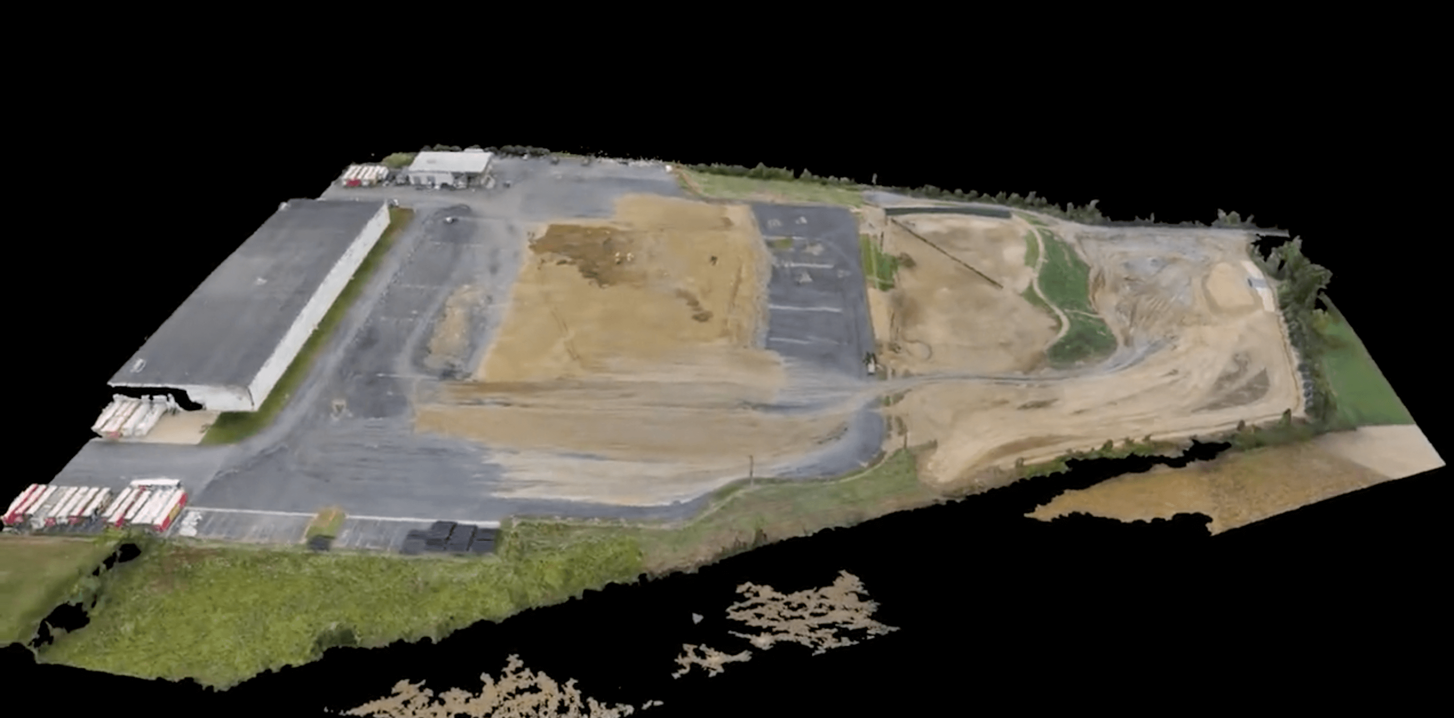
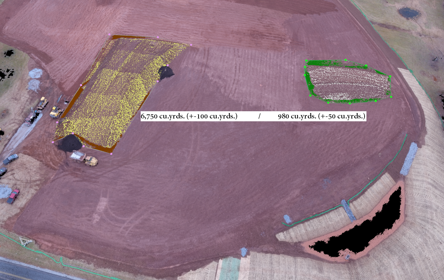
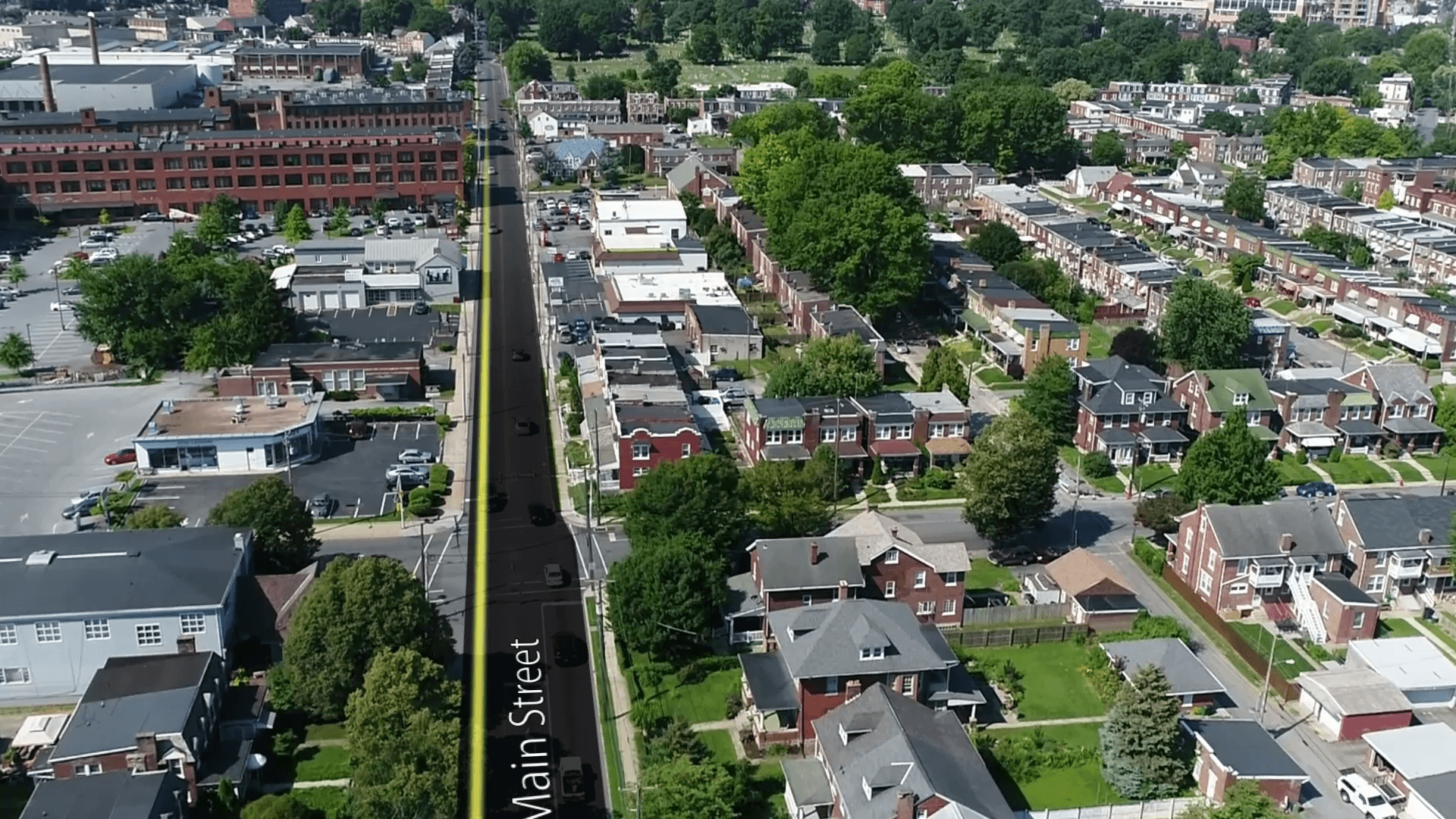
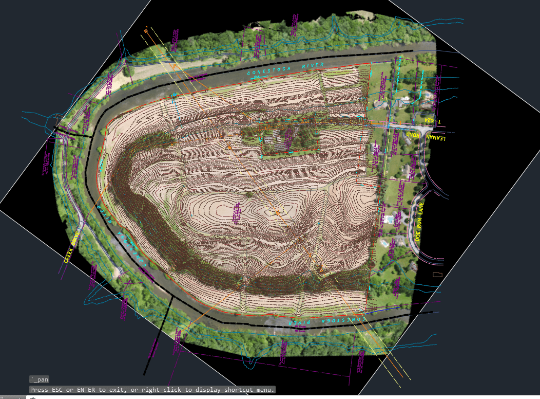
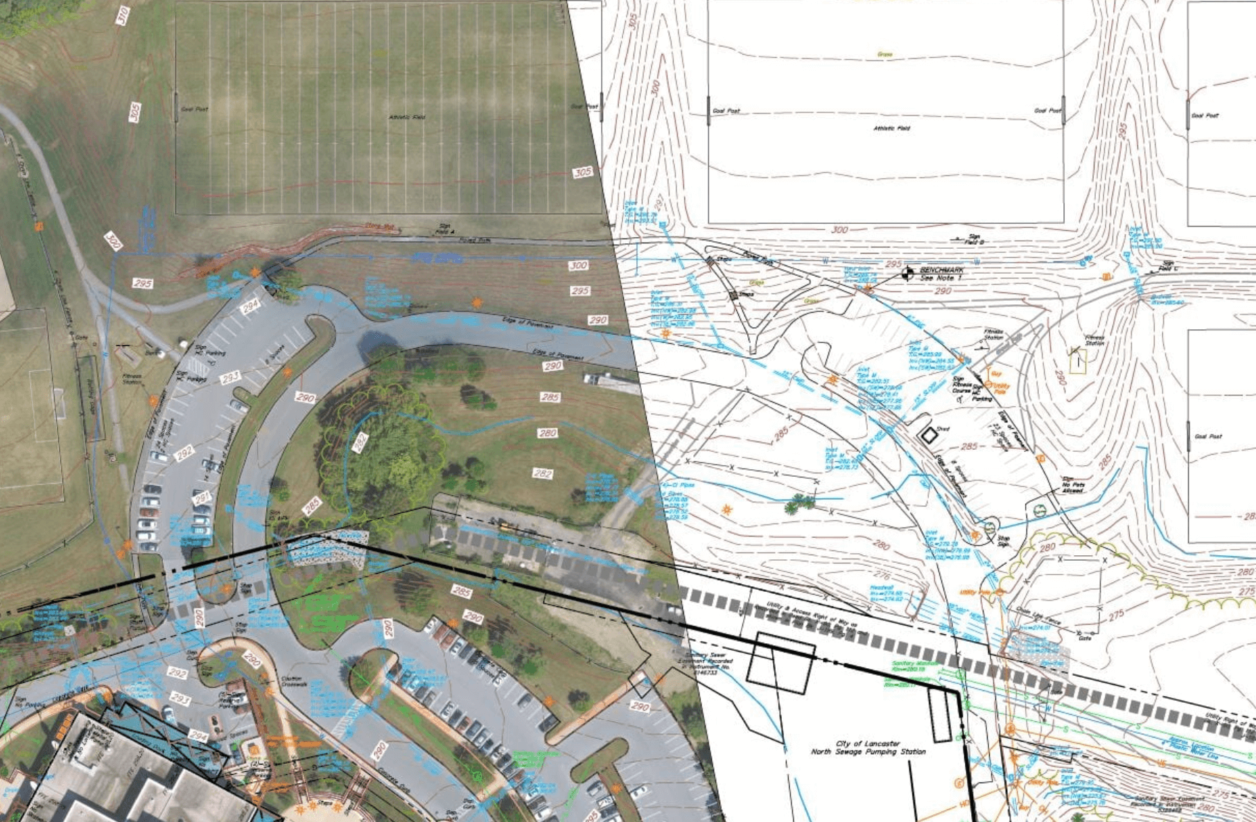
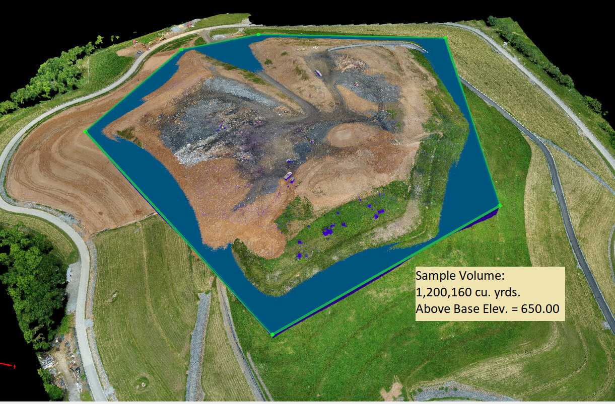
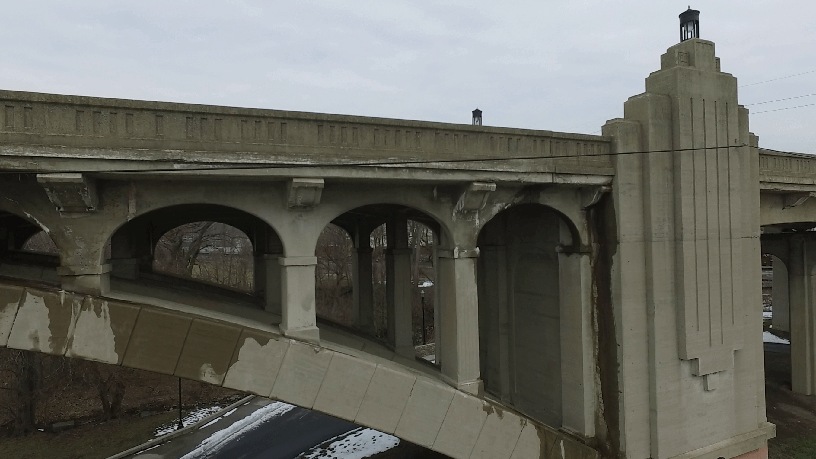
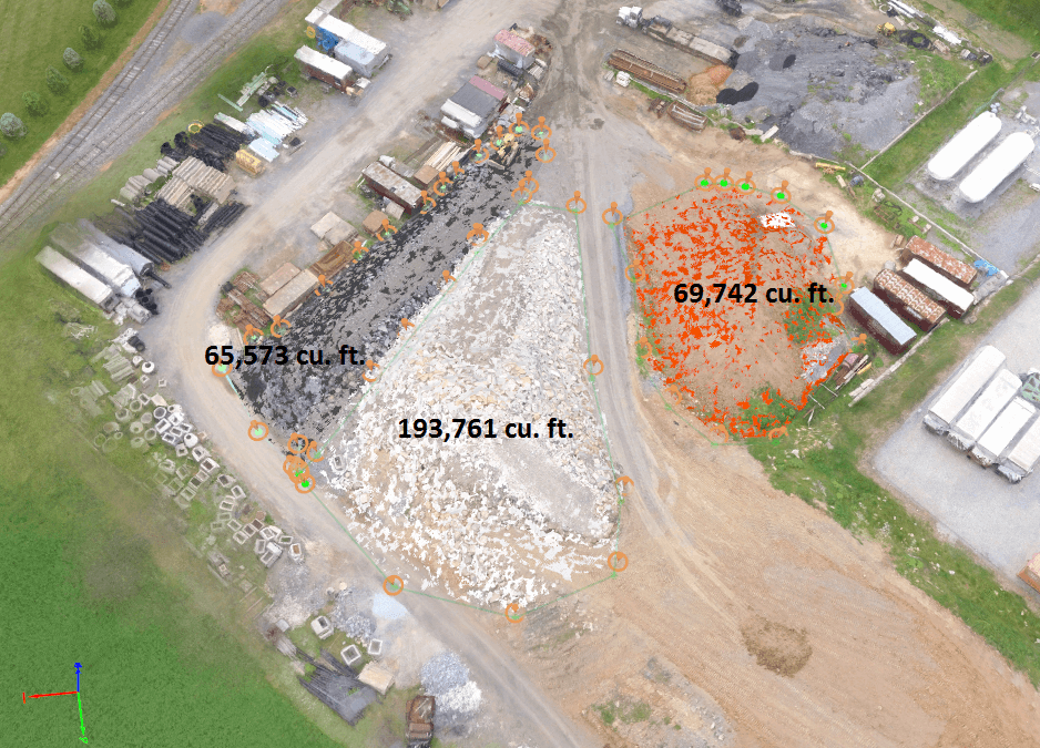
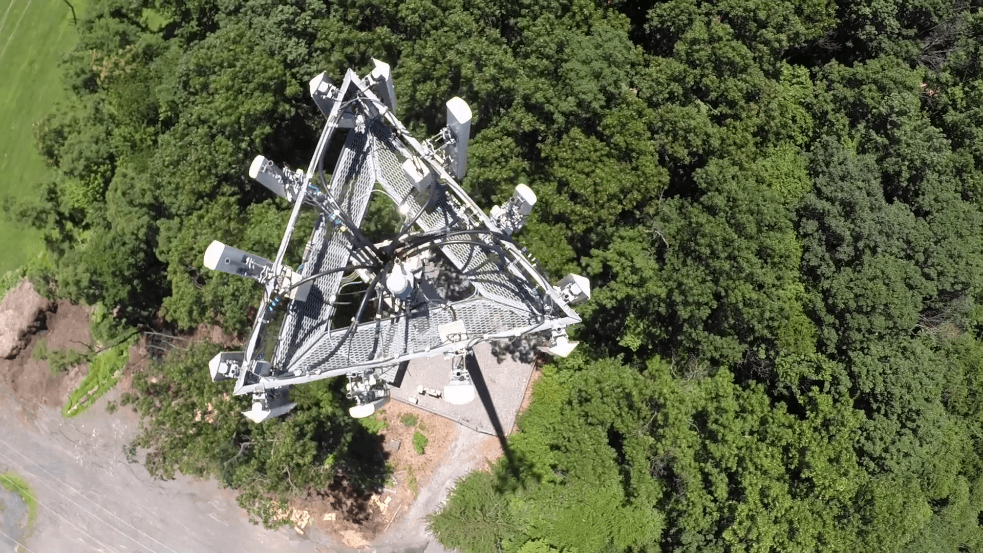
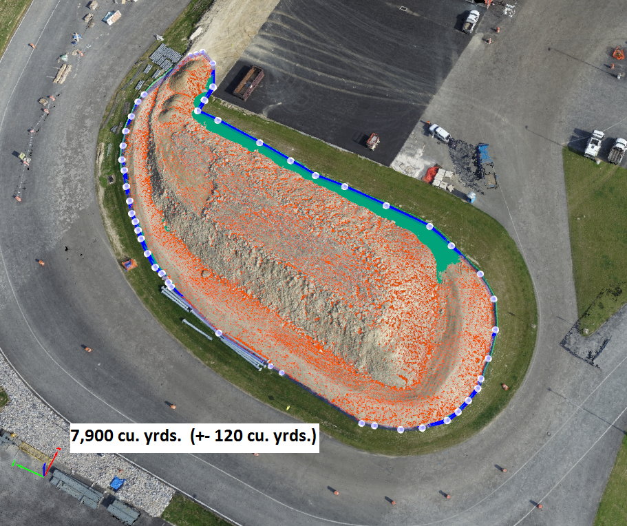
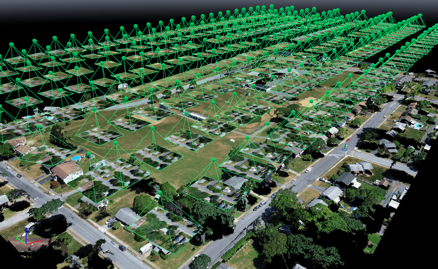
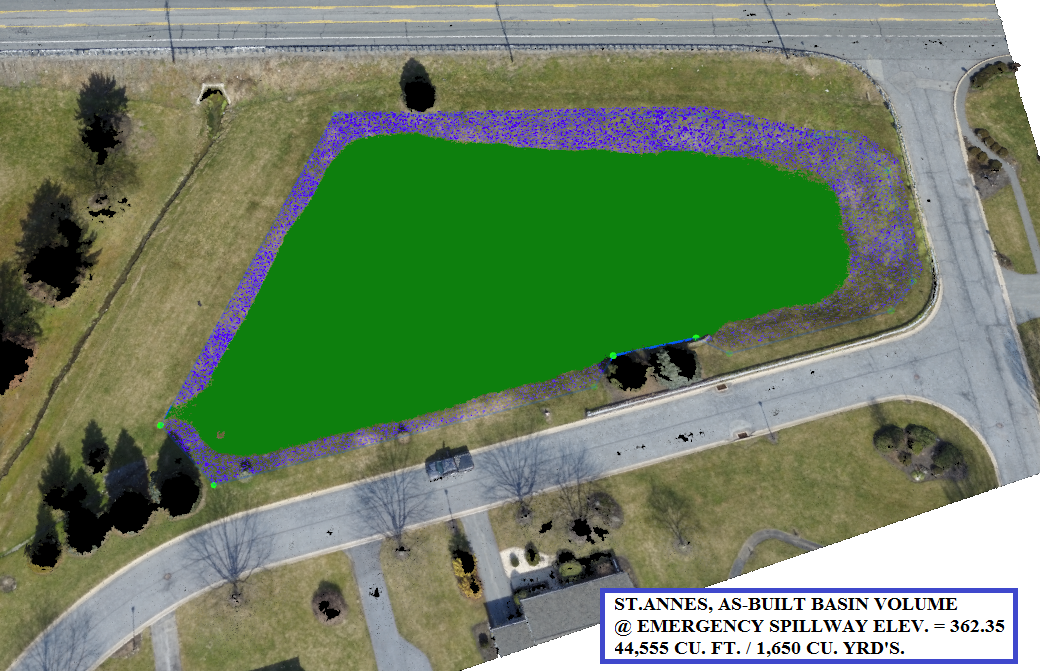
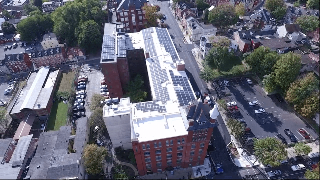
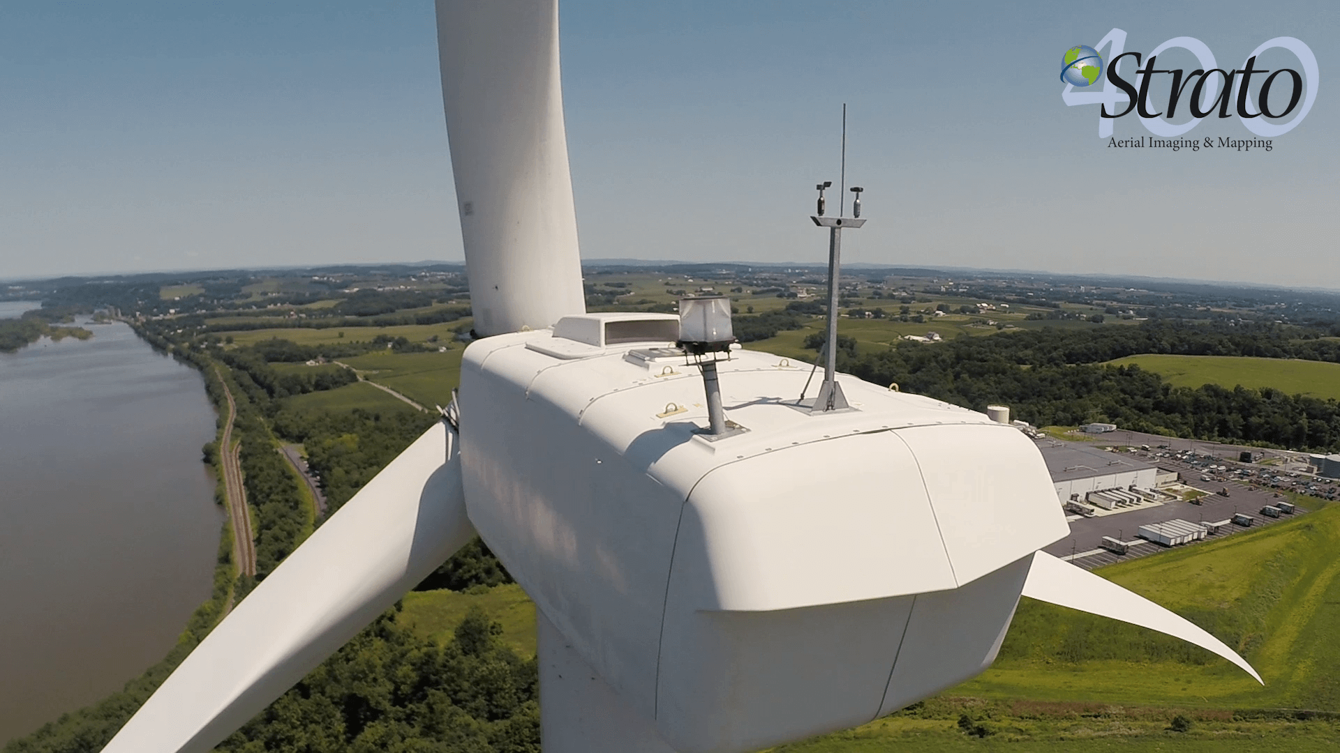
The use of the UAS can provide accurate ground elevations and positions for buildings, roads, trees and any other improvement visible on a photograph. This information is used by engineers and planners to design new development or improvements to existing built sites, with accuracy comparable to or better than traditional survey methods. With this technology and trained staff, the results are often less costly as compared to traditional survey fees.