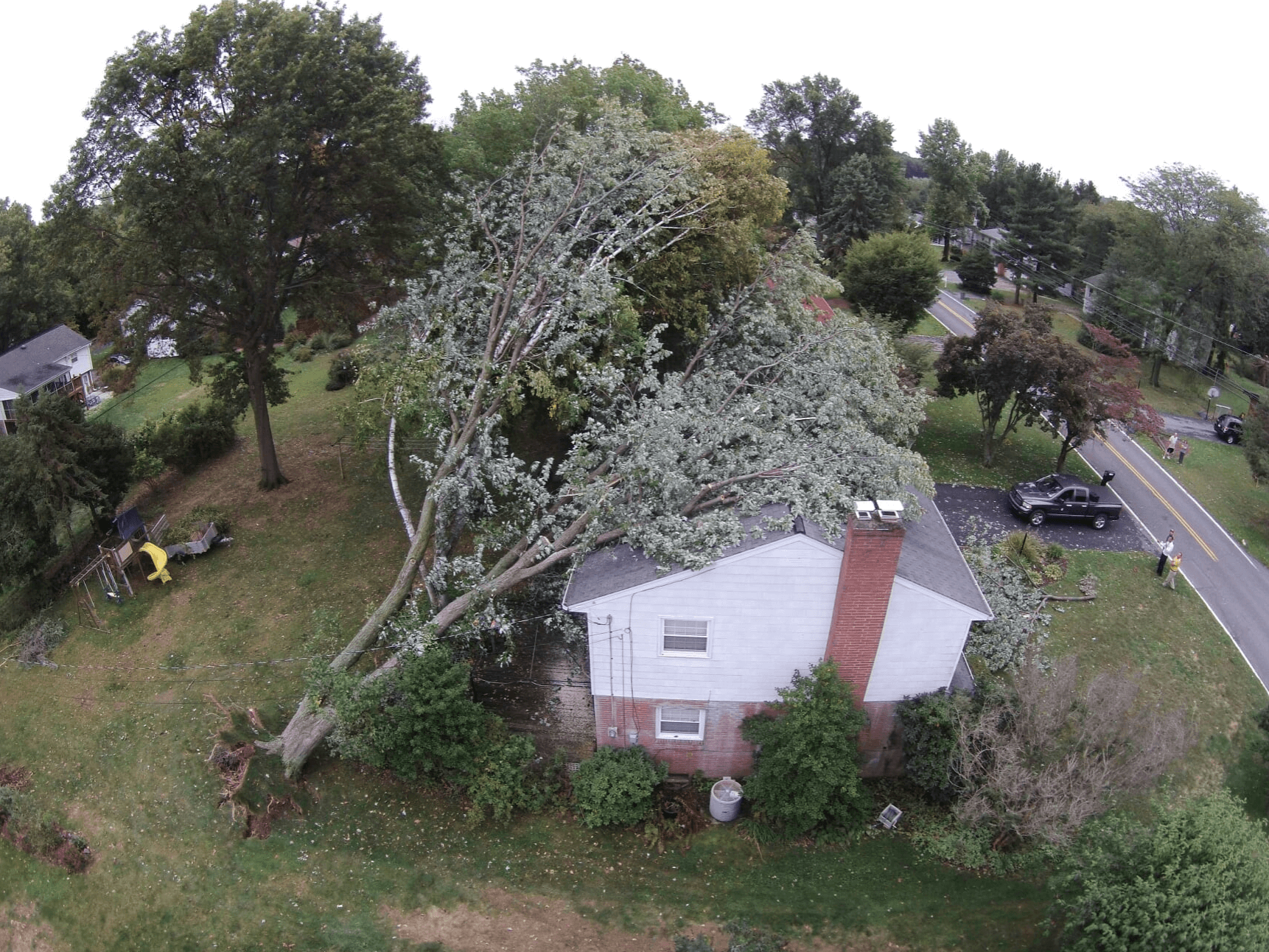
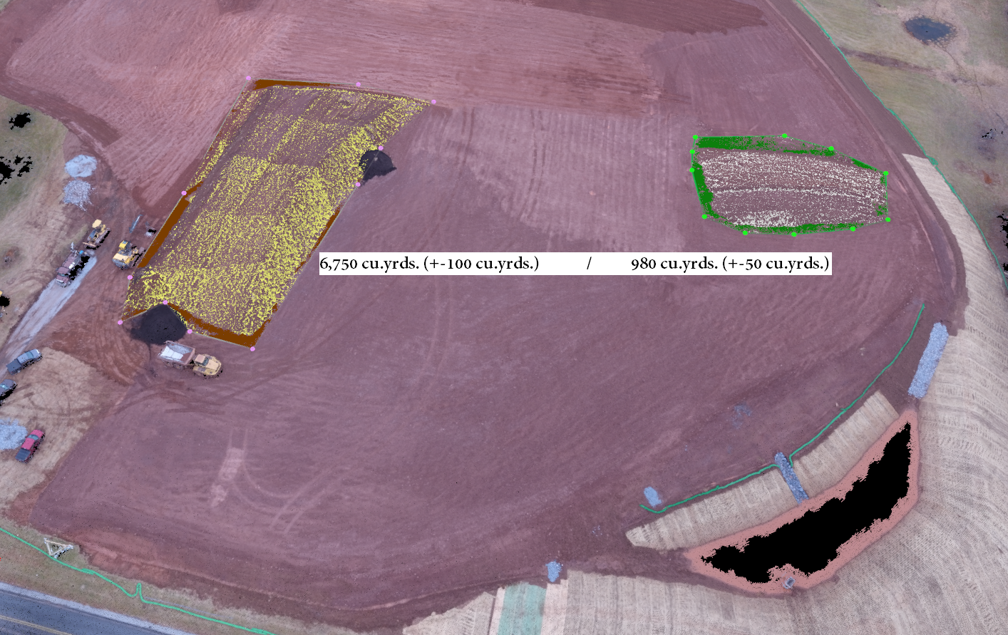
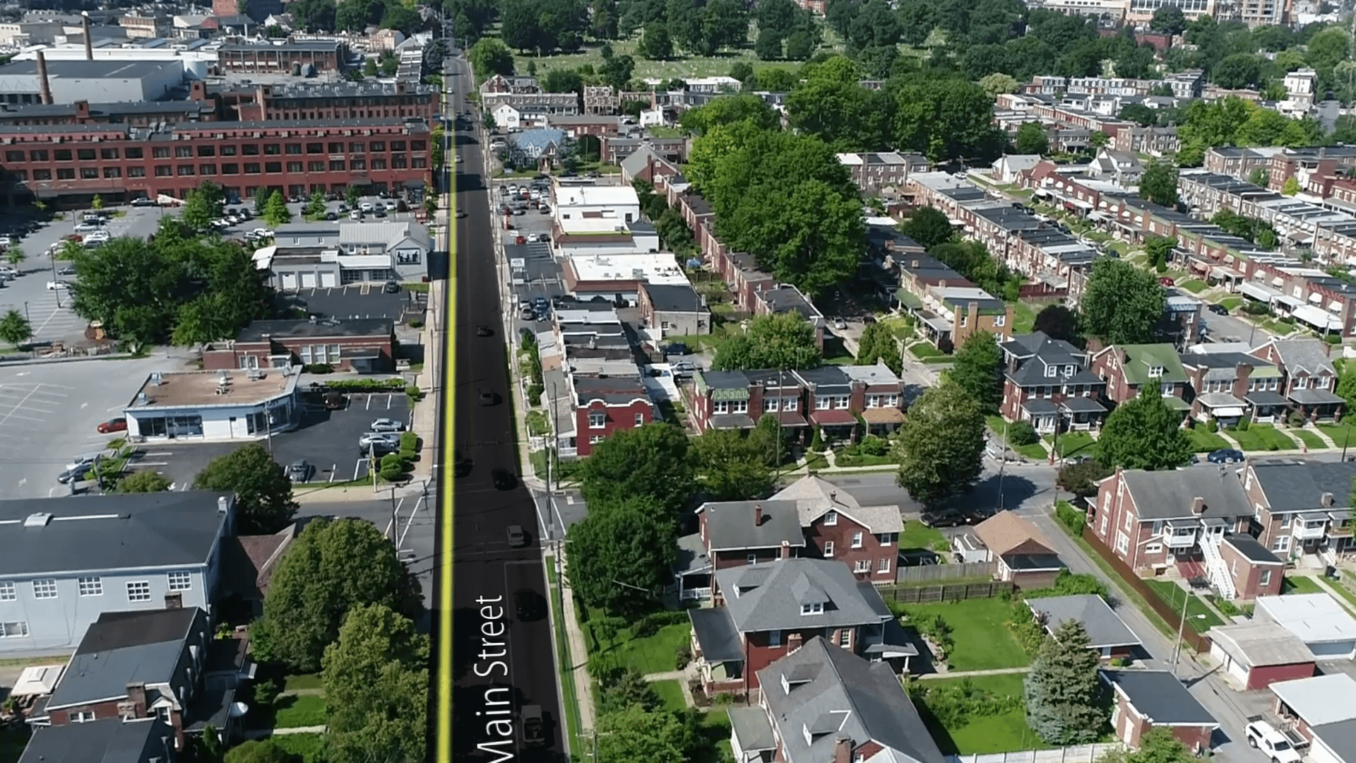
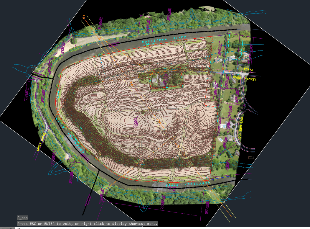
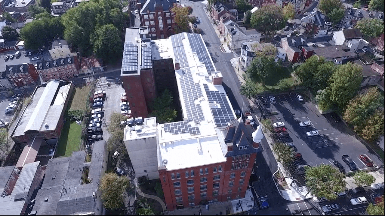
UAS mapping provides a safe and economical method for obtaining data of real-time damage. This can be used by emergency management officials, insurance companies, homeowners, businesses and communities to effectively respond to disasters. Aerial data can be utilized quickly to assess damage. The use of UASs in disaster response allows for safer methods for data collection and monitoring of areas without putting humans at risk. UAS data can be produced and turned around promptly producing faster solutions to damage.