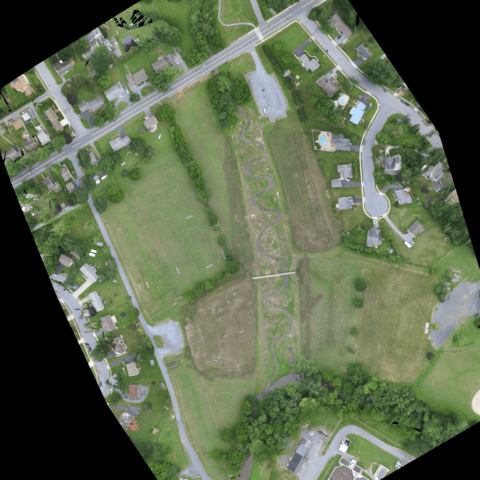
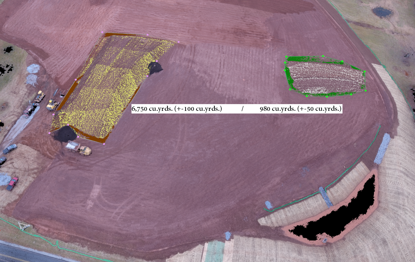
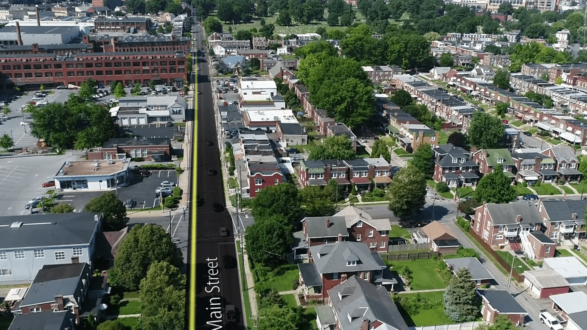
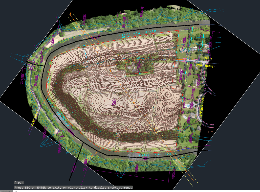
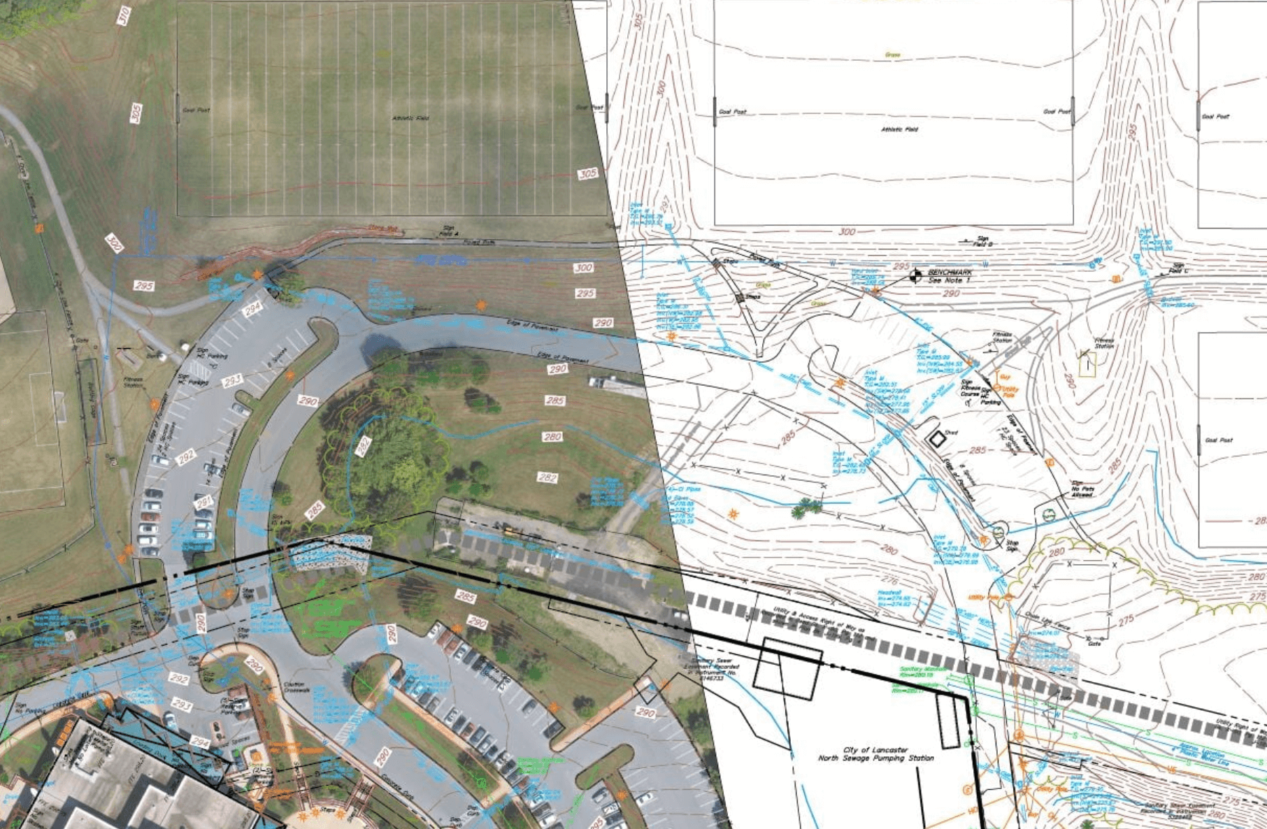
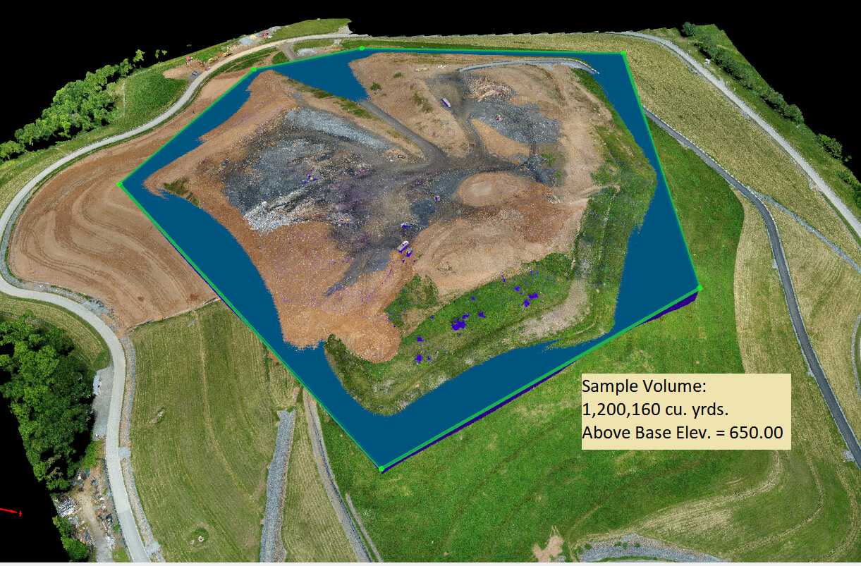
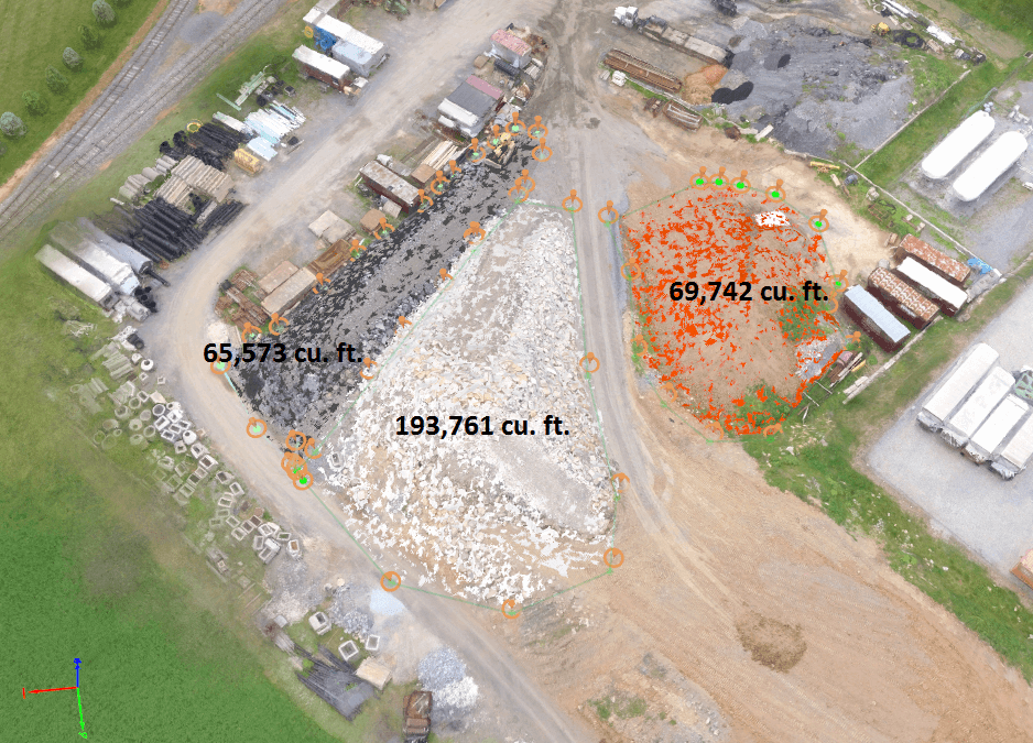
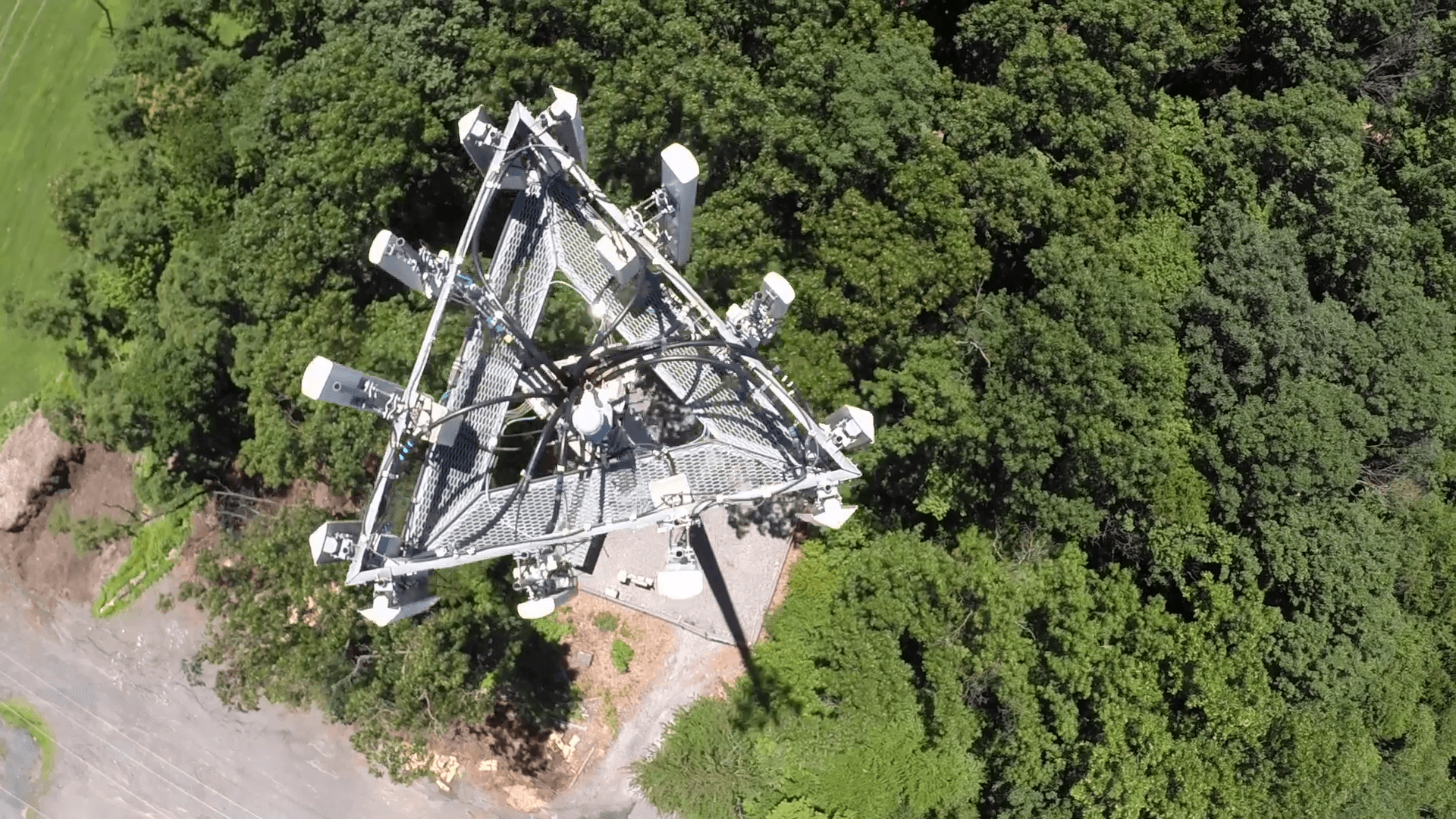
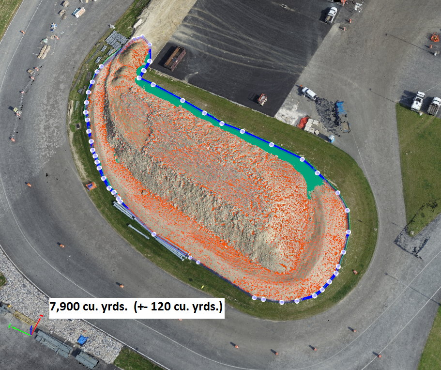
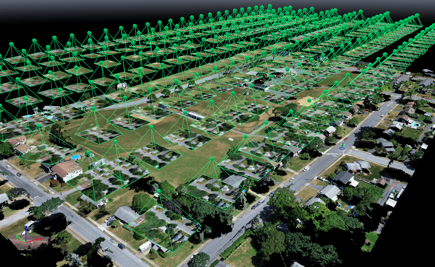
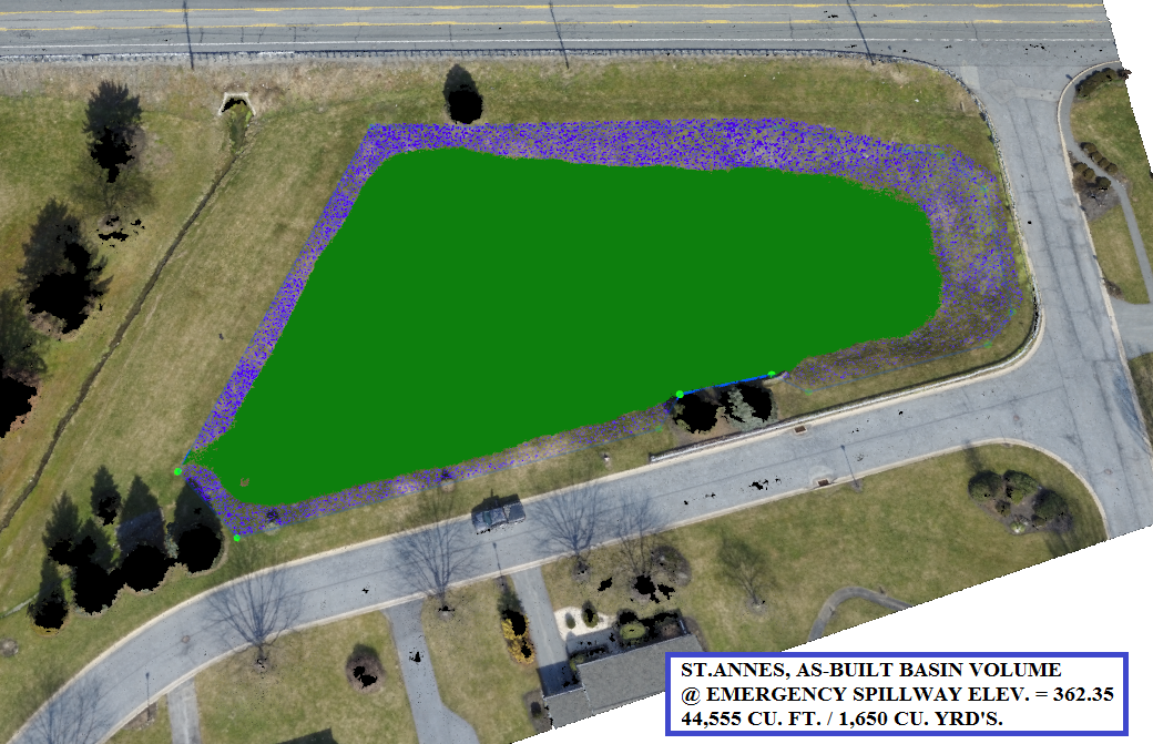
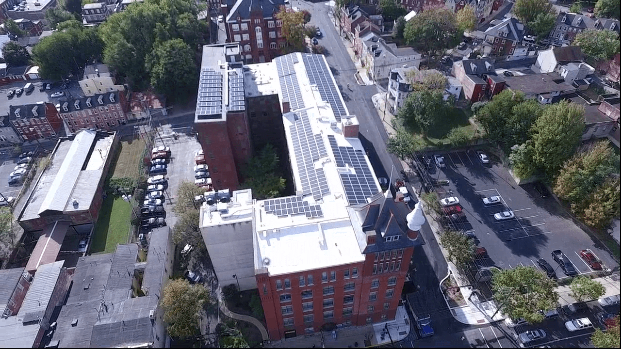
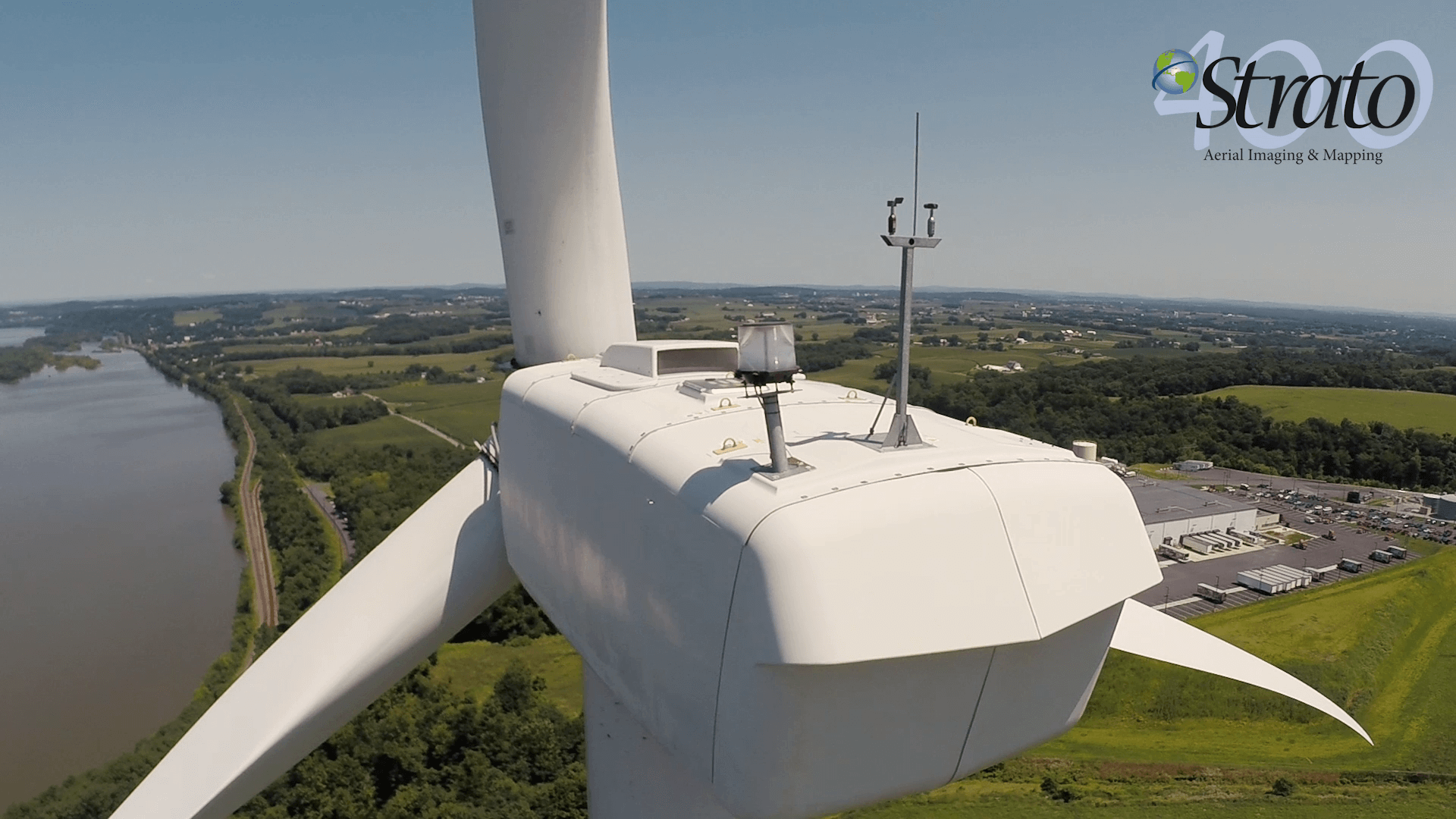
The use of drone technology has found favor with civil engineers, land planners and facilities managers. The use of aerial technology has proved a useful tool for topographic surveys, roof/building inspections, utility locations, construction monitoring and site planning. Utilizing aerial photogrammetry along with conventional survey methods. The UAS system produces survey grade accurate topographic surveys with quick turnaround.
Data/deliverables are geared specifically to each client’s needs and may include geo referenced orthophotos, topography, 3D models and video. These products can be utilized for design of site improvements, infrastructure and construction site progress. Not only are UAS systems transforming the future but they are helping companies benefit from the fast turnaround, lower costs and employee’s safety.