Our services also include: Aerial Inspection, 3D Modeling, Environmental Monitoring, Thermal Imaging
Work With the Experts
Our team of professionals is committed to the highest safety standards and FAA regulations. Strato400 is fully insured and prides itself on following FAA UAS regulations to insure safe flights for every project.
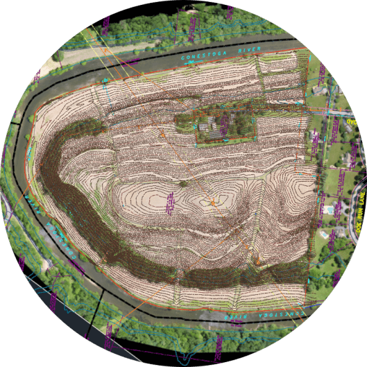
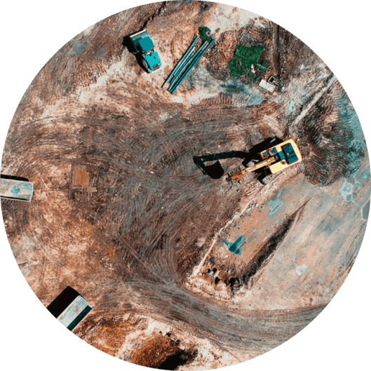
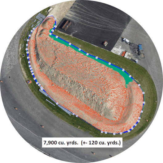
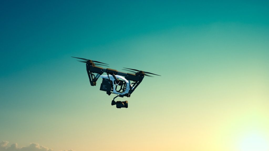
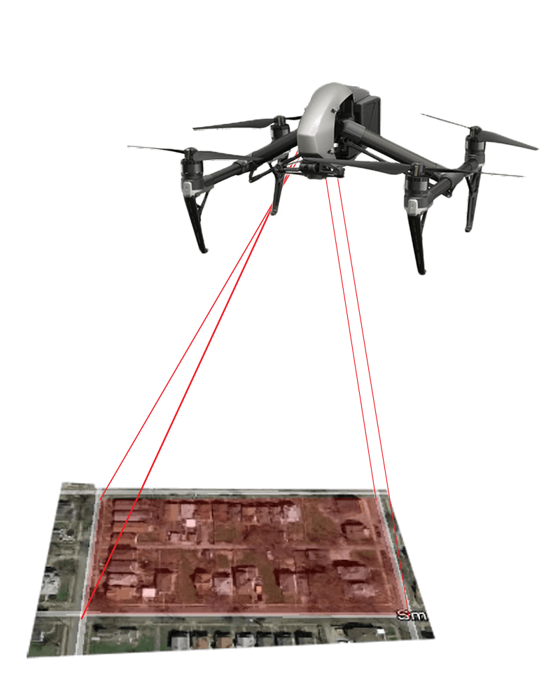
Consistent with LGS’s long term plan of utilizing the most advanced technology and software, Strato is utilizing an Unmanned Aerial System (UAS/drones) as an effective tool to supplement traditional survey methods. Under the guidance of FAA regulations, our trained and certified staff can provide photography and survey grade precision to clients seeking a useful and affordable end product for topographic surveys, volumetric computations, inspections, and general photography. The use of the UAS reduces traditional field survey time by 60 to 90%. Land Surveyors, Civil Engineers, and Land Planners find this system to be an effective tool to complete work efficiently.